


.png)
Displaying all municipally maintained boat launches and swimming areas for public use.
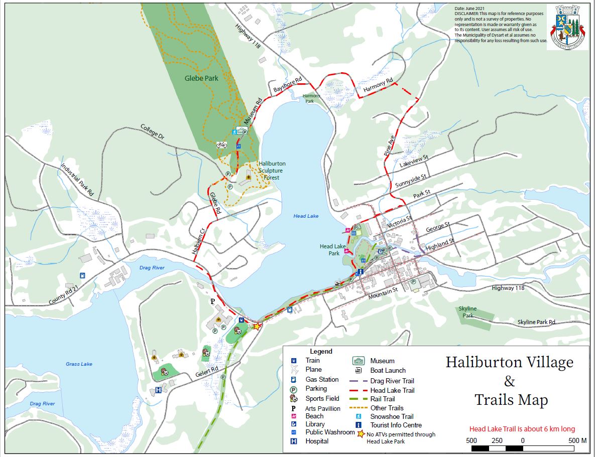
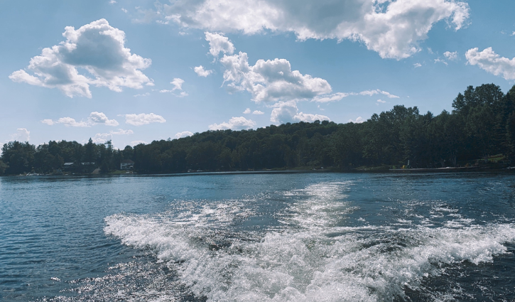
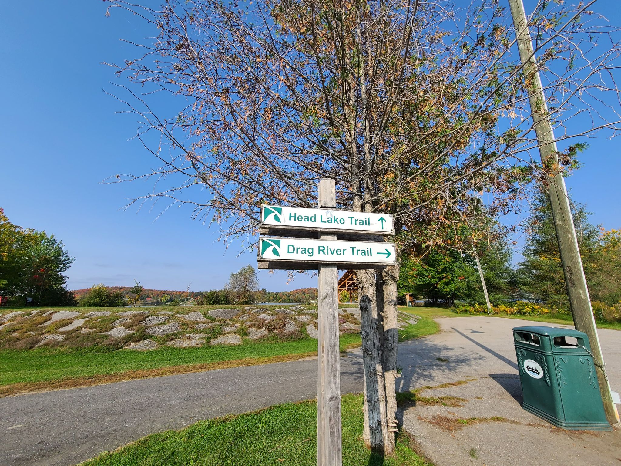
This map shows Recreation, Active & Other facilities, Attractions, Trails and Sidewalks within Haliburton Village & along the Head Lake Trail.
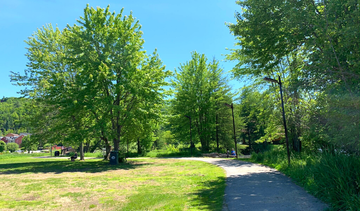
Find things to see at our parks within Haliburton village.
This map includes beaches, bathrooms, benches, picnic tables and may more amenities to explore.
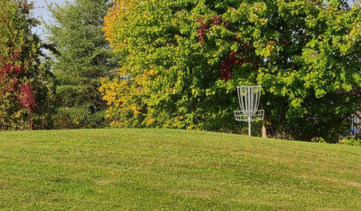
Do you need a break from your daily routine, come and play disc golf within the Head Lake Park and Rotary Park.
Disc golf combines 'Frisbee' and 'Golf'.
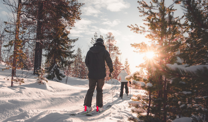
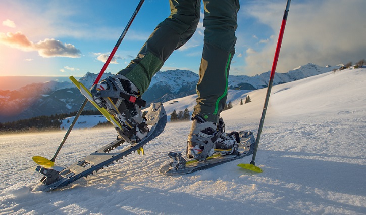
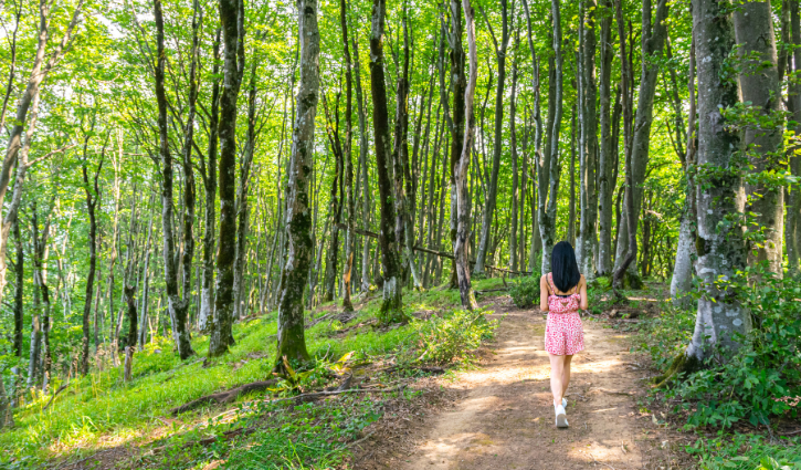
Find and explore all of the ski and snowshoe trails, plus winter activities to explore while snowshoeing at Glebe Park.
Snowshoe Trails length range from 180 m to 1265 m.
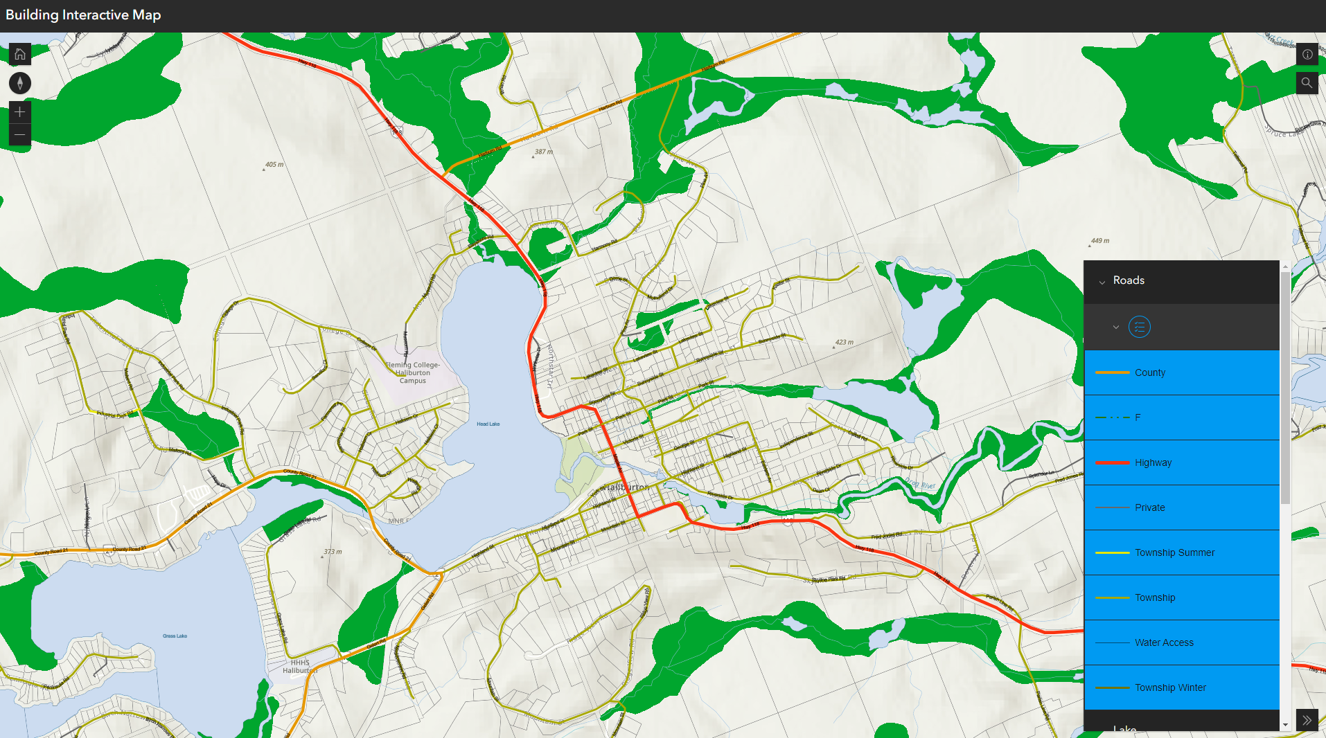
Interactive Maps
Please Note: This interactive map is still under construction.
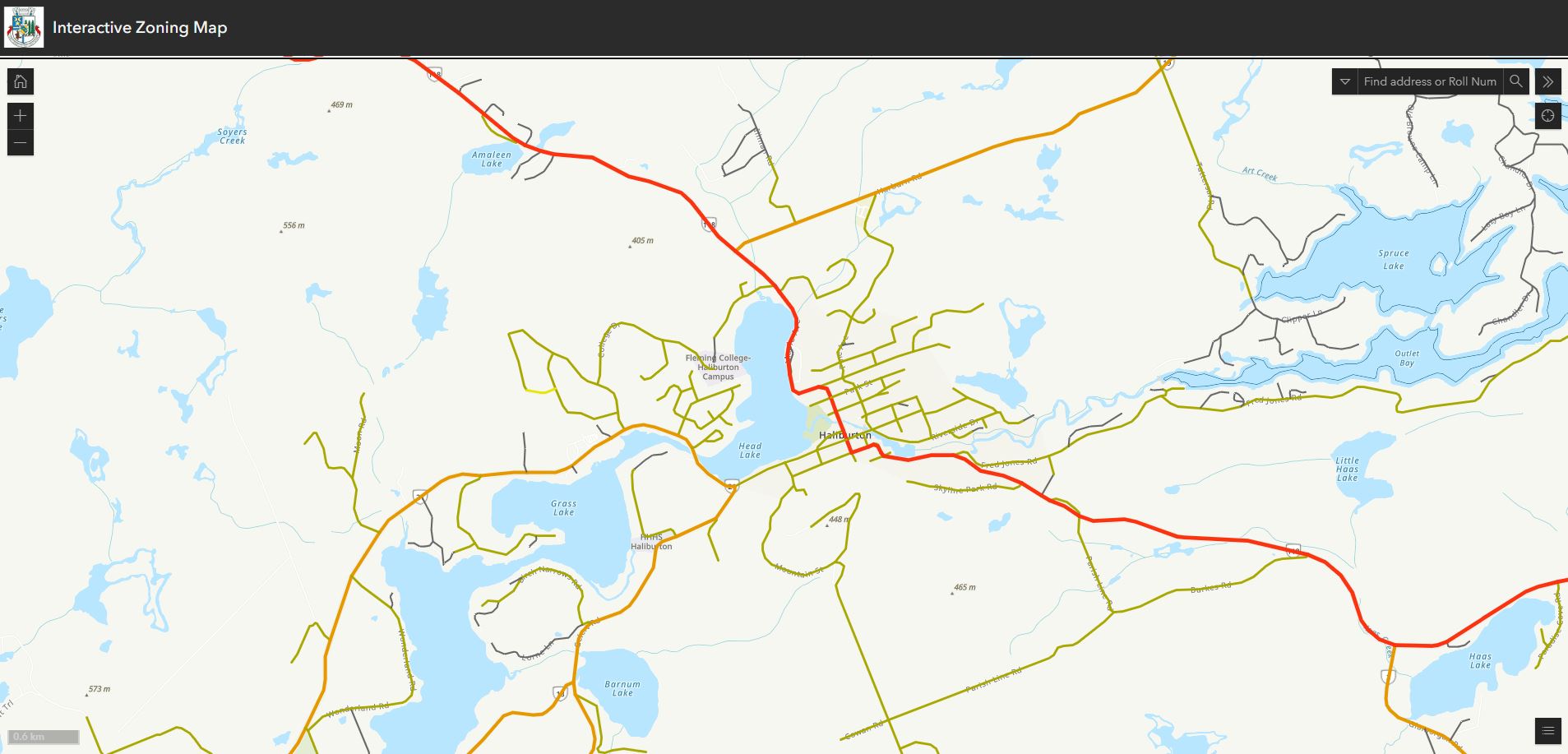
This interactive map allows you to check your zoning by roll number or address.
Explore Cultural industries, organizations, spaces and facilities, Historic and Heritage sites, Natural Heritage sites and Other resources such as public Wifi spots.
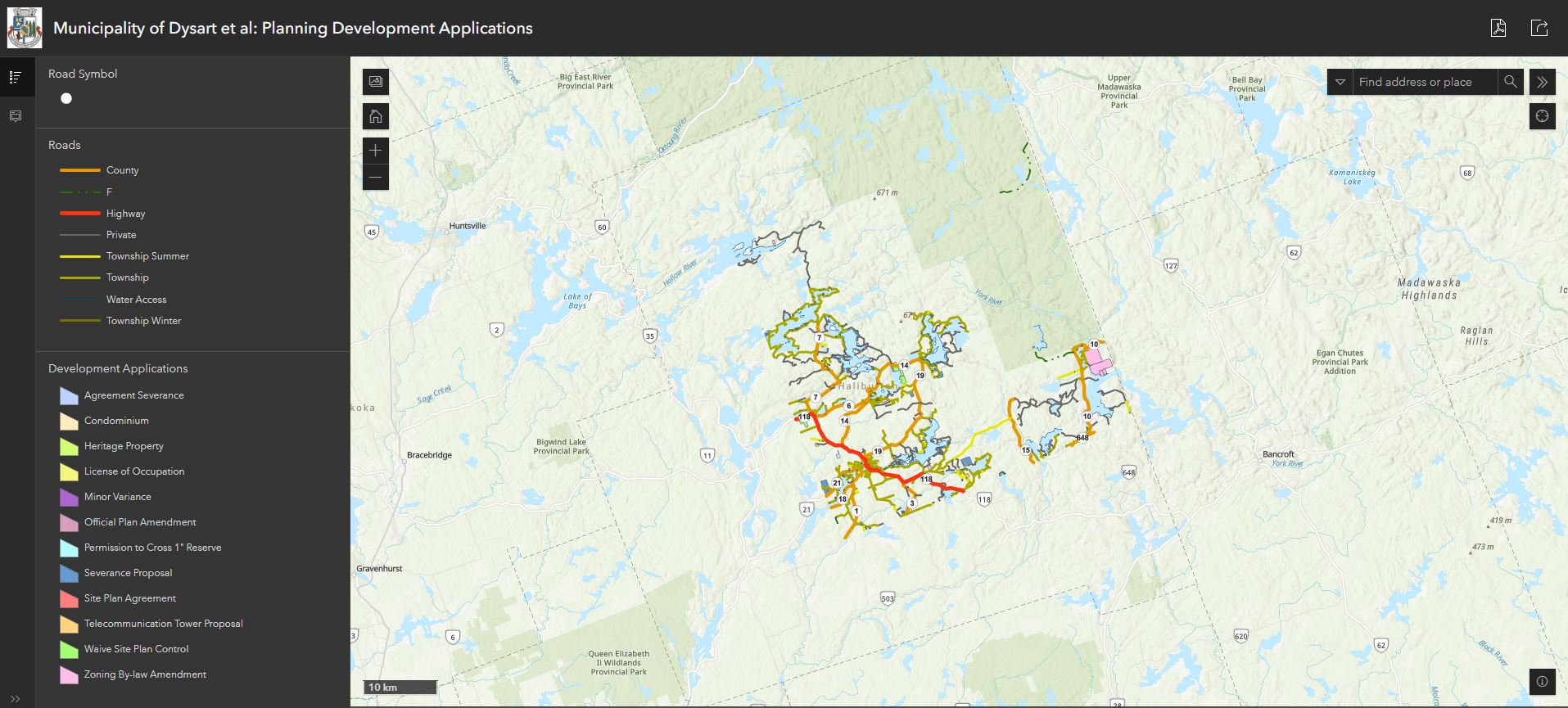
This interactive maps displays all current development applications within the Municipality of Dysart et al. To view development applications search by address or roll number, then select the coloured feature.
The dialoge box on the left side will describe the type of application, application number, status and assigned stafff.
Please note: This interactive map is updated weekly. For up to date information, please email planning@dysartetal.ca
This map tours you through Building & Spaces, Historic Objects, Plaques & Public Art within the Municipality of Dysart et al.
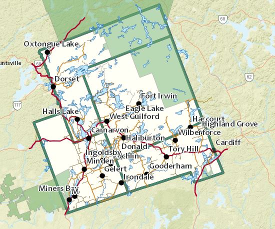
This interactive map can be used to discover public locations and resources. Explore Haliburton County.
Along these trails you will explore plaques, historic buildings, beaches, the sculpture forest, Fleming College and most of all breath taking trails and scenery.
Come adventure with us!
This interactive map allows you to check waterbodies and Environmental Protection Zones by roll number or address.
Contact Us
 Subscribe to this Page