


Please note: This interactive map is still under construction.
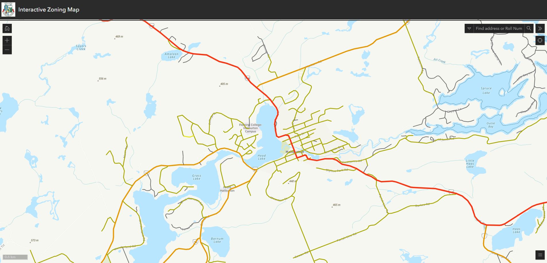
This interactive map allows you to check your zoning by roll number or address.
| Zoning By-Law Maps |
|
Zoning maps are available to assist in determining the zoning of a property (see links below) for a part of the By-Law as well as specific lot provisions and amendments. The maps are organized by Schedule A (Geographic Township) and B. For more information about Zoning for Municipality of Dysart et al please visit Zoning By-Law, on the Planning and Land Information page.
Schedule A, Map 1 - Haliburton Schedule A, Map 4 - Eagle Lake Schedule B, Minimum Opening Elevation Schedule B-1, Development Envelope
|
| Official Plan Maps |
|
Official Plan maps are available to assist in determining Land use, Wildland and Fire Assessment, Natural Heritage and Development Constraints (see links below). For more information about Official Plan for Municipality of Dysart et al, please visit Official Plan on the Planning and Land Information page.
Schedule B - Natural Heritage Features and Areas Schedule C - Mineral and Aggregate Resources Appendix A - Wild Land Fire Assessment Appendix B - Lake Recreation Capacity Table
|
Contact Us
 Subscribe to this Page